Skip to content
Weather – must-have apps and forecasts for Masuria lakes and the seas
Why is a weather forecast for sailors different from a regular forecast?
For the average tourist, "fair weather" means no rain and high temperatures. For a sailor, these concepts are much more complex. Sailing weather focuses primarily on the dynamics of air masses and phenomena occurring directly above the water's surface.
Regular weather services often fail to account for local effects, such as wind jets between islands or sea breezes. A forecast for sailors must be much more precise regarding wind direction and strength, as these determine the vessel's safety and the crew's comfort.
In sailing, it's not just whether rain will fall that counts, but also how the pressure will change. A sudden drop in hPa is a clear signal to the skipper that a front is approaching, and with it, potential danger.
A sailing weather forecast – what should it include and how to read it?
A good sailing weather forecast is a road map for your cruise. It's not enough to just look at the sun icon. You need to be able to interpret the numerical data and charts provided by specialized services.
The key is understanding the weather model used by the app. The most popular are the GFS (global) and the ECMWF (European, considered more accurate). When reading the forecast, pay attention to:
- Gusts: Often significantly stronger than the average wind.
- Wind direction: Will it be a headwind, or will we have a pleasant broad reach sailing?
- Tide period: Crucial at sea, determining the risk of seasickness among the crew.
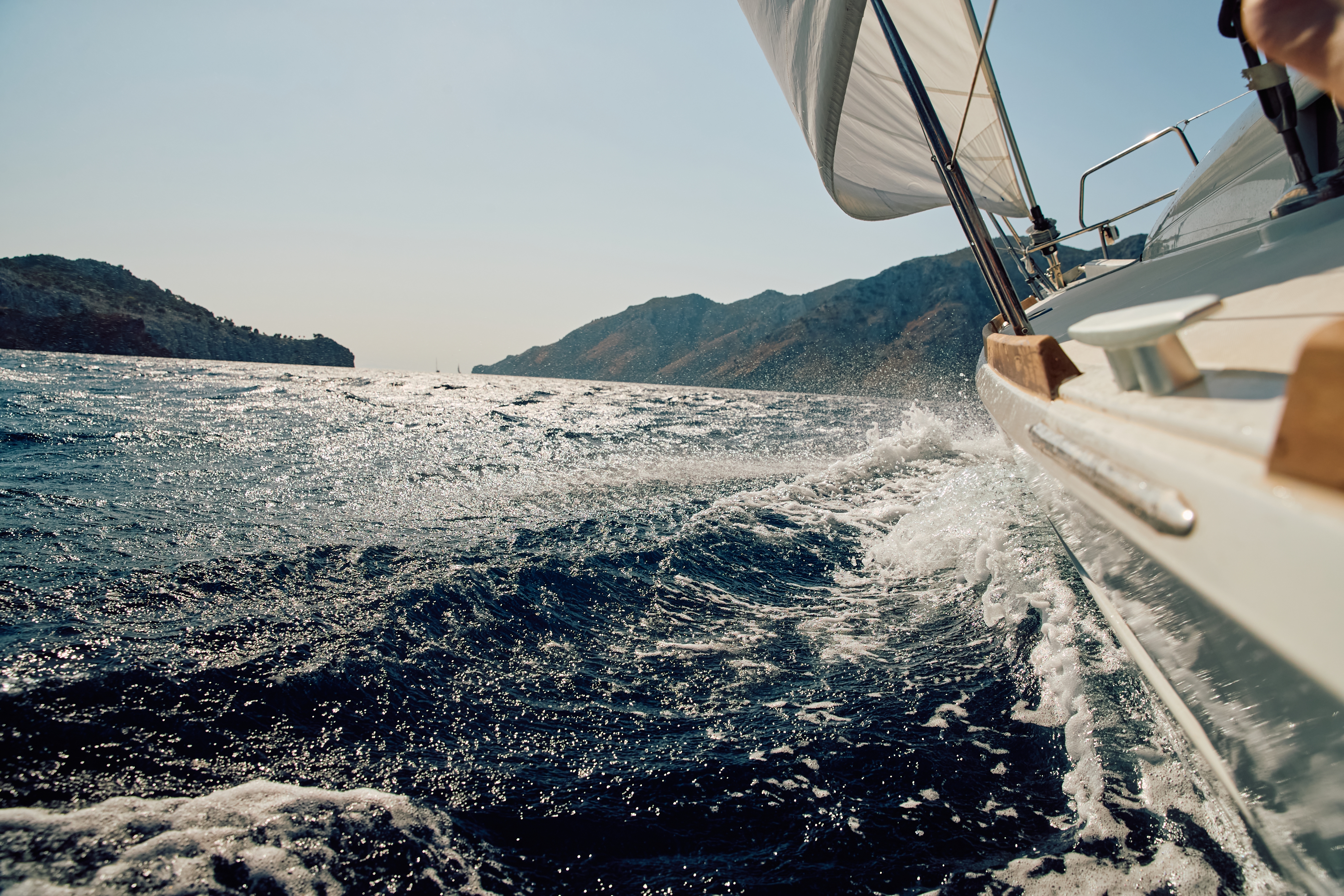
Key parameters for a sailor (wind strength, sea state, currents)
Understanding these three parameters is fundamental to every skipper's safety:
- Wind force: Measured in knots (kn) or degrees on the Beaufort scale. This is the absolute basis for route planning.
- Sea state: Determines the height and steepness of the waves. Even with light winds, a "swinging" sea after a storm can make entering port difficult.
- Currents: Less noticeable in the Baltic Sea, but in the North Sea or around Gibraltar, they can completely change your arrival time.
5 things you must check before setting sail:
- Current weather report for the given area.
- Warnings of strong winds and storms.
- A graph of pressure changes over the last 6 hours.
- Forecasted visibility (fog!).
- The nearest ports of refuge on the planned route.

The best weather forecast apps for sailors
These days, a smartphone is the second most important tool on board, after a compass. Here's a list of apps every sailor should have on their phone:
- Windy.com: The absolute king of wind visualization. It allows you to compare different weather models (ECMWF, GFS, ICON).
- PredictWind: Utilizes advanced algorithms, perfect for planning long sea routes.
- Meteo.pl (UM Model): Indispensable if you're interested in sailing weather in Masuria and the Baltic Sea. Its "zigzag charts" are legendary for their reliability.
- Windfinder: Very readable, great for quickly checking conditions at a specific marina.
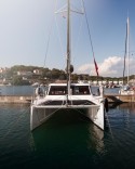
Charter with us and enjoy the good weather
At Travelboat, we know you can't order the weather, but you can choose the perfect yacht that will make even a rainy day in the marina a pleasure. Our modern vessels are equipped with heating systems, waterproof biminis, and the latest nautical electronics that make it easy to keep up with the forecast. By choosing to charter a yacht through our platform, you can be sure that your home on the water is prepared for any conditions.
How to plan a cruise based on the weather forecast? A Practical Guide
Planning a cruise is a balancing act between ambition and safety. Always start by analyzing the "weather window." If the forecast predicts strong westerly winds, don't plan a laborious tack upwind if you can change your destination and sail comfortably with the wind.
Remember the rule: a 24-hour forecast is very reliable, a 48-hour forecast is likely, and anything beyond 72 hours is merely a trend. Always have a plan B. If the wind is expected to exceed force 6 on the Beaufort scale and your crew is new, it's better to spend the day exploring land.
Weather for sailors in Masuria Lakes – specific lakes and local conditions
Masuria can be treacherous. Due to the terrain and the abundance of forests, the wind on the lakes is highly variable. We often encounter so-called "reflections" from the forest walls or violent gusts in the passages.
Sailing weather in Masuria primarily involves monitoring storm warnings. Due to the shallow depth of the lakes, waves build very quickly, but they are short and steep, which can be dangerous for smaller vessels. Remember the warning mast system – 40 flashes per minute signal "caution," and 90 flashes per minute indicate an immediate threat.
Śniardwy Lake weather for sailors – largest lake, greatest risk
Śniardwy weather for sailors is a topic for another story. This lake has its own rules. The vast expanse gives the wind room to "accelerate," creating waves unheard of on other lakes. Furthermore, numerous boulders just below the water's surface make sailing during poor visibility or strong winds extremely risky. Always check the forecast specifically for this body of water before leaving Mikołajki or Okartowo.
Weather for sailors in Gdańsk and Gdynia
The Bay of Gdańsk is a great testing ground. The weather for sailors in Gdańsk and Gdynia is unique due to the shelter of the Hel Peninsula. When a storm rages on the open sea, conditions in the Bay of Puck can be ideal for learning. However, be careful of onshore winds, which can be very gusty.
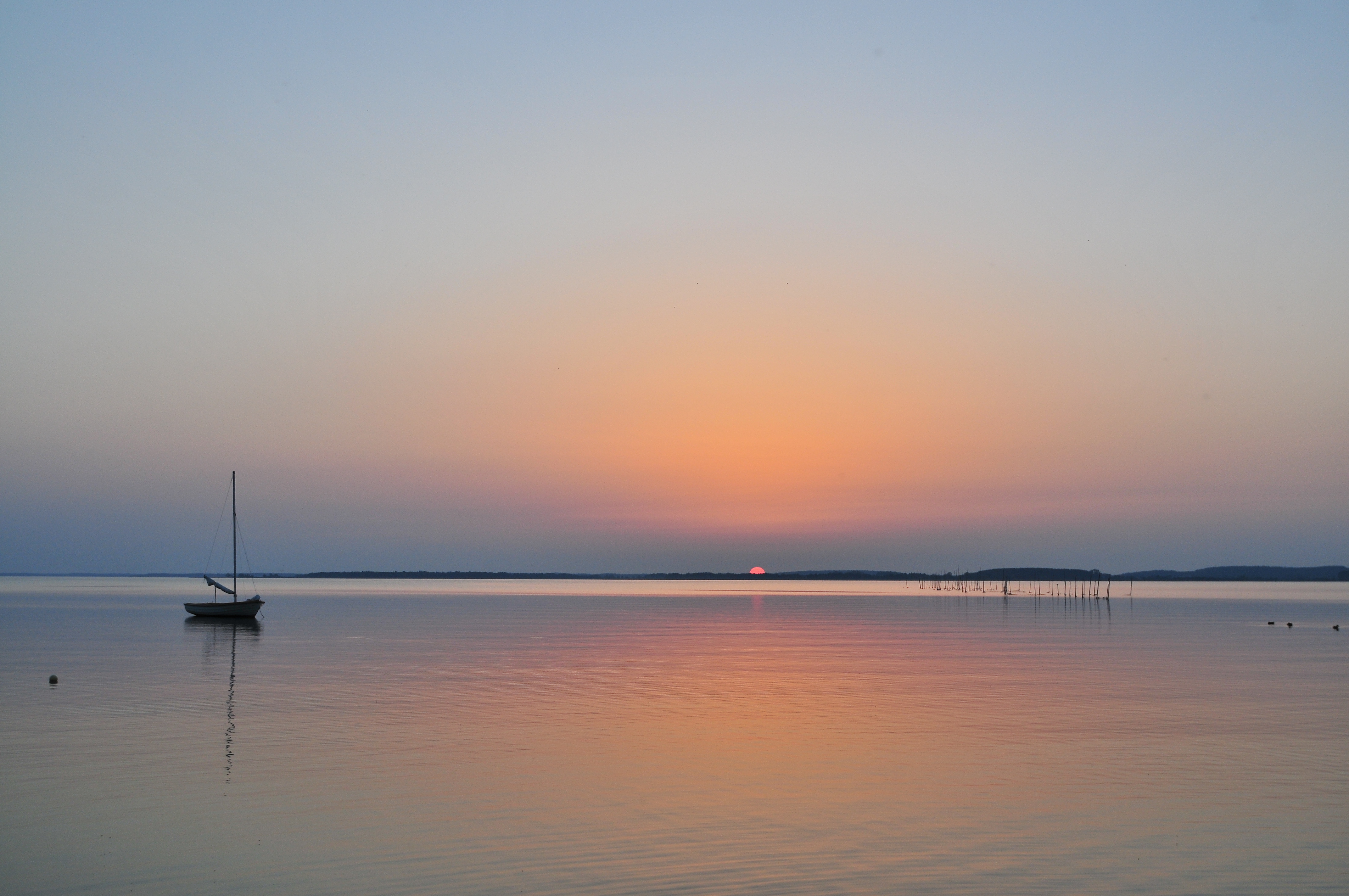
Mediterranean Weather
Dreaming of the blue waters of Croatia or Greece? Mediterranean weather is synonymous with sunshine, but sailors need to be familiar with names like Bora and Meltemi. These are strong, local winds that can blow from a clear sky. Croatian weather requires vigilance for sailors, especially at night – local storms (nevera) can be brief but extremely violent.
North sea weather – conditions for experienced sailors
This is a water area for those seeking a challenge. The weather in the North Sea is characterized primarily by strong tidal currents and frequent low cloud bases. Here, the forecasted sea state is more important than the air temperature. Without professional storm gear and an experienced skipper, it's not worth risking a trip to this region.
FAQ – questions and answers
Do weather forecasts for sailors work offline – without internet access?
Standard applications require an internet connection. However, professional systems on yachts can receive forecasts via VHF radio (voice announcements) or the Navtex system, which operates independently of the internet.
How far in advance can you trust a marine forecast?
Short-term forecasts, up to 24-48 hours, are most reliable. Anything beyond 5 days should be considered a general outline of the weather trend, not a certain scenario.
How does a GRIB forecast differ from a standard weather forecast?
GRIB files are raw numerical data from weather models, compressed to a small size. Sailors value them because they can be downloaded even with a weak satellite signal and displayed directly on electronic charts.
What are the warning signs of weather change that every sailor should know?
A sudden drop in barometric pressure, the appearance of cirrus clouds (so-called "horsetails") heralding a warm front, or a sudden change in wind direction are signals that conditions will soon deteriorate.
Plan your cruise with Travelboat!
Don't let unpredictable weather ruin your plans. With forecast knowledge and the right vessel, every trip will be a success. Visit our platform, choose your dream yacht, and set sail!
CLICK TO CHECK OUT OUR OFFER FOR YACHTS AND BOATS IN MASURIA